My recent attempt to set the fastest known time (FKT) on the 100 mile
wilderness was not the first but thankfully for me and my
longsuffering wife it would turn out to be my last. Setting a speed record on the 100 mile wilderness had
become somewhat of an obsession. I grew up in Maine and when I started running ultramarathons, I always wondered if I'd graduate the the 100 mile distance. Even before I was aware that FKTs were a thing, I used to dream about running the 100 mile wilderness. I first took a shot at the record on an
absurdly hot day in July of 2019 and decided to stop after passing out at an aid
point on Johnston road (my wife has terrible memories of watching me pitch
forward face first into the dirt). The next year I tried again but I broke a big toe about 10 miles in. An FKT was out of the
question but I wanted to finish so I hobbled through to Abol bridge in just
under 35 hours, completing my first 100 mile "run" in the process. Two additional attempts followed, but both were ultimately
derailed by GI issues. As I weighed my 5th and ultimately final attempt, I knew
full well that my chances of success were not great. My training regimen over the
summer had been minimal. With 3 young children, a puppy, a farm in the early
stages of rehabilitation, and a full-time job as a physician, training for a
100 Mile Wilderness FKT just couldn’t be a priority. The most I had run in a
week all summer was 31 miles.
I did have two big things in my favor though: familiarity
with the trail and my wife Christy, the one-woman support crew of my dreams. I
knew exactly what to expect and how to plan for each section of the trail.
Christy knew how to access each road crossing and expertly meet my physical and
emotional needs.
One thing that was different about this run is that I chose not to announce my
intentions ahead of time. I appreciate and generally agree with this guideline
but for me the announcements had begun to weigh on my mind. I wanted to run
without any outside pressure. I figured that I really wouldn’t mind if the FKT
arbiters decided to reject my record because of this breach of protocol. This
run was much more about a personal and spiritual endeavor than getting some
recognition. The FKT was a deeply personal challenge I needed to meet. If I met
that challenge I would be fully satisfied whether I was recognized for it or
not.
As usual I would run northbound. I knew from my experience with the trail and
familiarity with Finn Melanson’s splits that I would need to preserve some
energy going over the brutal Barren-Chairback range and the long and undulating
climb up Whitecap. I would then spend that energy recouping my time on the much
more runnable 13.8 miles between the west branch pond road (bottom of the
northern slope of Whitecap) and the Jo Mary Road and try to keep up a
respectable pace for as long as possible on the remaining sections of the run.

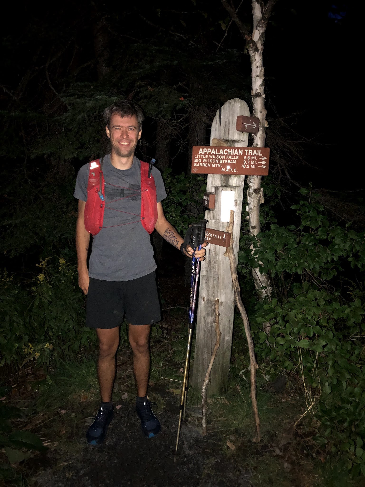
Starting at 5:45am on September 13, 2021, my strategy initially went roughly according to plan. The day was
cool and initially overcast and I felt like I was moving well without pushing too hard. Somewhere along this section of trail I met an older guy named
Doug who was also aiming to run the 100 mile wilderness. We wished each other
well and I headed off marveling at the odds of meeting another runner on this
remote and challenging trail.
Christy met me for the first resupply just past the Otter
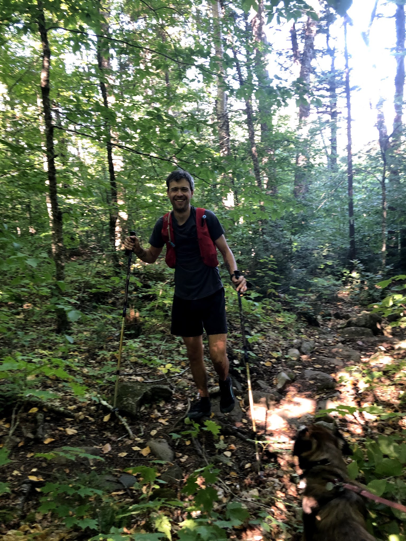
creek lean-to. I was feeling good and was glad to see I was right on pace. Next up was the Barren Chairback range. On this section I tried
hard to dial myself back on the brutally steep and rugged climbs but pick up
easy speed on any flats and downhills. The weather was sunny now but there was
a cool and blustery wind that kept me from getting too hot. By the time I reached Chairback mountain I was
still feeling strong and made a quick descent to the KI road where I discovered
I was well ahead of my projected arrival. This gave me the confidence I needed
to finally take the climb up Whitecap easy. I kept reminding myself that even
if I was easily capable of running that long gradual climb, I’d make far more
efficient use of my energy by waiting for flatter or downhill terrain. For the
first time I was able to make it all the way to the top of Whitecap feeling
really good and rapidly dropped down the steep 3 mile descent down to the West
Branch pond road where I discovered I was now about 30 min ahead of my
projected pace.
At this point my stomach began to gurgle, sending me intermittent waves of
nausea. In the past I’ve always kept on eating and drinking as much as possible
in spite of the nausea. This time I dialed back my intake and tried listening
to my body for a change.
Apart from my GI distress I felt pretty strong. The terrain over to Jo Mary
road is relatively runnable and I was able to pull ahead of the previous FKT
pace and gain yet more time over my own projected splits as I surmounted little
Boardman mountain and tore through the trail leading up to Jo Mary Road. This
would turn out to be a good thing because I started to slow down as I made my
way over the trail from Jo Mary road to Nahmakanta lake. This section is
supposed to be about 15 miles but it felt like I would never get there. My GI
issues persisted and I still wasn’t able to eat or drink much at all. I was
deep into the run and doing very well overall but I was so tired that running
this section 15 minutes slower than I had planned felt like a major blow. Then
came the section of trail past Nahmakanta lake. The trail started out with a
brief runnable stretch but then it started taking these maddening meanders up
and down the slope of Nesuntabunt mountain. These little climbs felt like cruel
and unusual punishment in my fragile physical and mental state. By the time the
actual climb up Nesuntabunt had begun I was beginning to feel the FKT slip from
my grasp. I kept seeing these beautiful rocks that seemed to be calling my
name, inviting me to stop this nonsense and rest. Unusually shaped rocks and
stumps began to look like hikers, bears, and fantastical creatures. I wasn’t
hallucinating exactly but it felt like I was headed that way. My fluid and
calorie intake also continued to be frighteningly minimal. My pace had slowed
to a crawl. My right quad was beginning to give me increasingly severe jolts of
pain.
There’s a little road at the bottom of Nesuntabunt. Christy was supposed to
meet me about 2 miles further down the trail at Pollywog bridge but she
presciently decided I might need some encouragement. When I saw Christy, I told
her I wasn’t sure I could keep going, that the trail past Nahmakanta lake had
really broken me down. But Christy told me I could still get the FKT, that she
believed in me, that when the going got tough I was the guy that could push
through. All I had to do was average a 16.5 minute mile for the rest of the run
and I could still get the record. She also said shared encouraging messages
from friends and family who had been following my spot tracker and were
cheering me on.
“Running” a mile in less than 12 minutes is difficult even on the easiest
terrain on the 100 mile wilderness. I had previously tried and failed to
maintain a 16.5 min pace between Jo Mary Road and Nahmakanta lake and I knew
this final stretch of trail involved more climbing. But Christy’s pep talk
fired me up. I started off down the trail still feeling broken but not beaten,
not yet anyway. My body might be disintegrating and my knee was making any
downhill run look like a grotesque series of awkward hops, but I would find a
way. Christy’s belief had reawakened my own belief.
There was no need to resupply anything when I got to Pollywog bridge. I still
had most of the calories and fluids I had picked up at the Jo Mary road!
Christy did give me some sour patch candies though. As it turned out, these
candies and a few cautious sips of water were the only things my stomach could
tolerate for the rest of my run.
The hikers I passed on this final section probably thought I was a lot more
than half crazy. At times I was bent nearly double with stomach cramps. My
right knee became progressively more painful and I would involuntarily yell in
pain on the downhills. I grunted and groaned. I exhorted myself aloud—“come on
Barry, COME ON, just keep going!” My GPS watch had totally malfunctioned and
all it could tell me was what time it was. I thus had no idea whether I was on
pace to set a new FKT until I got to rainbow ledges and read the sign
indicating I had 6.1 miles to Abol bridge. I looked at my watch and saw I had
nearly 2 hours left to get the FKT. I also knew the trail was mostly downhill.
If it hadn’t been for my now swollen and extremely painful knee I believe I
could have finished these remaining miles in about an hour and 20 minutes,
possibly even less. As it was I needed all the time I had. I kept checking my
watch towards the end though because I knew this was going to be close. I still
wasn’t totally sure I would get it. Finally just as I was starting to really
wonder when the road would appear, I met a hiker going the opposite direction
who blithely informed me I had just over a mile left. I rechecked my watch. A
MILE? I might not make this. I broke into an awkward limping run but thankfully
that hiker was massively overestimating the distance. About 5 minutes later I
saw the road through the trees. What a good feeling to get on that road and
head towards Abol bridge. Christy was jumping and cheering me on. Even with the
bridge so close, it took focused and determined effort to keep running until I
touched the bridge. I was elated and relieved but so totally exhausted that I
immediately sat down on the bridge rail, then hobbled over and sat down on the
ground in the shade of our car. I had completed the FKT in 29 hours and 6
minutes, a mere 12 minutes faster than the previous record!

I’ve included my splits below. I didn’t keep track of my
resupply times but they were usually less than 5 minutes. The times shown here
are my departure times at each point. Road names are a bit tricky in the 100
mile wilderness but I’ve included approximate mileage based on “book miles” as
reported in the Maine Appalachian trail guide.
|
Location
|
Departure
time
|
Mile
|
|
Route 15
|
5:45am
|
0
|
|
Otter Creek
trail crossing
|
9:45am
|
15
|
|
KI road
|
2:33pm
|
30
|
|
West Branch
pond road
|
7:15pm
|
44.8
|
|
Johnston road
|
9:19pm
|
51.7
|
|
Jo Mary road
|
10:58pm
|
58.6
|
|
Nahmakanta
stream road
|
3:17am
|
73.8
|
|
Pollywog
Bridge
|
6:12am
|
82.1
|
|
Abol Bridge
|
10:51am
|
99.5
|
I’ve learned a lot about this trail over the years I’ve
spent trying to set the record. Here’s a list for the next prospective record
holder (no particular order)
- For now, this FKT is still beatable for non-professional
runners like me but I agree with others who have pointed out that an elite
ultrarunner could probably run this route in less than 24 hours. I'm reasonably confident my own record will be surpassed soon, possibly even this year.
- Do not underestimate the 100 mile wilderness. Acquaint
yourself with just how ridiculously rough the trail is before setting any pace
goals.
- Dry trail conditions are critically important if you are
aiming to go as fast. There’s some sort of shale or slate rock in
the southern part of the route that is slicker than ice when wet.
- Early June would seem like an ideal time to run the trail
because it’s still fairly cool and you have maximal daylight. However the trail
may not be fully cleared of blow downs. I attempted to set the FKT twice in
June and both times the blow downs slowed be down by at least an hour. Think
that’s an exaggeration? Imagine a huge spruce tree lying lengthwise down the
trail in the middle of the night and then multiply that scenario with a few
variations by 100 and you get the idea. I recommend running in September or
early October. More daylight is nice but the trails will have the fewest blow
downs and will be generally the driest. Late October and November offer the coolest temps but fallen leaves will make the trail slippery and hard to follow.
- Cell service sufficient for text messages is typically
available on the summits of the Barren-Chairback range and Whitecap, but I
would take a GPS tracker with an SOS option. Even if you go with a support
crew, there are extended sections of very remote terrain.
- I’ve run both supported and unsupported. If you can be
pretty minimal with your supplies and have a good game plan for rapid water
filtration/treatment, I believe you can run unsupported nearly as fast as you
could supported. If you anticipate your margins will be as thin as mine were
then obviously go supported. As my description shows, having a support crew can
also offer game changing benefits in more intangible domains.
- Contact Phil Pepin (100
Mile Wilderness) If you have questions about the 100 mile wilderness and
how to access the remote logging roads for your resupply points. He is a
genuinely great person and has a wealth of information about the trail and
access roads that would be difficult to find anywhere else. You might also stay
at Phil’s campground. I have stayed there and found it very clean and
comfortable.
- Maine Appalachian trail maps were helpful early on when I
was planning my initial attempts and didn’t know much about the trail. I highly
recommend buying the relevant maps.
- Your support crew can get good maps of the local logging
roads at the Jo Mary or KI road checkpoints.
- My wife wrote up some helpful resupply and direction notes in another blog post. You can find it here.